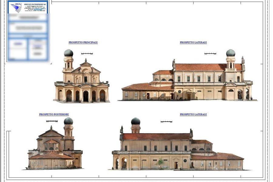
A precise and measurable digital replica of the real structure. Not a graphic representation: a verifiable technical archive built on real survey data.
A 3D model is a graphic representation: it may be accurate or approximate, built on real measurements or on design drawings. A Digital Twin, in our technical sense, is something more specific: a digital replica derived from real survey data, in which every element is measurable, verifiable and traceable.
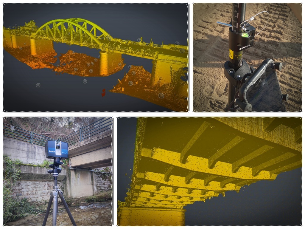
We build it with laser scanners, drone photogrammetry and GNSS. The starting point is always a point cloud — millions of spatial measurements acquired directly on the structure. From this we derive geometries, elevations, surfaces, volumes and spatial relationships between elements.
The result is an accessible and updatable digital archive: every time the construction advances, the digital twin can be updated with a new survey, creating a historical record of the structure's condition over time.
Not a showpiece. A technical asset that solves specific problems.
The digital model of the completed work is overlaid on the original design. Geometric discrepancies — exceeded tolerances, incorrect levels, misaligned elements — are identified with precise measurements, before final inspection.
Excavated volumes, fill, completed structures: quantities are measured directly from the 3D model. An objective and verifiable basis to support billing and interim payment certification
The condition of the site before and after construction is documented with measurements. In case of disputes over pre-existing damage, unauthorised modifications or deviations from the contract, the data is available and defensible.
The digital twin forms the historical record of the structure. Buildings, infrastructure, plant: the geometric condition is documented and accessible years later, including for maintenance or restoration works.
The model of the existing structure gives the designer a metrically reliable base. No more approximate manual surveys: levels, surfaces and geometries are already available in the file.
With an updated digital twin, the contracting authority, client and works director can carry out checks remotely without a physical site visit. Time and travel savings, more frequent control.
| Aspect | Traditional survey | Digital Twin (laser scanner / drone) |
|---|---|---|
| Geometric coverage | Discrete points, interpolation | Millions of points, continuous coverage |
| Acquisition time | Long for complex structures | Significantly reduced |
| Access to difficult areas | Limited, operator risk | Drone and scanner without physical access |
| Update over time | New survey from scratch | Incremental update |
| Comparison with design | Manual, slow, imprecise | Software-assisted, with accuracy defined by survey method and required tolerances |
| Volume/surface calculation | Estimates from sample sections | Direct calculation from 3D model |
| Technical defensibility | Limited | High: traceable and verifiable data |
| BIM/GIS integration | Difficult | IFC, LAS, GeoTIFF compatible formats |
Verifiable progress reports, design vs. built comparison, technical protection in case of disputes.
Inspections, asset management, permanent technical documentation of public works.
Metrically reliable base for variations, renovation design and BIM modelling.
Updatable digital archive for bridges, viaducts, plant and utility networks.
Contact us: we will explain the practical possibilities, delivery formats and costs.
Request an assessment