Drone surveys and photogrammetry
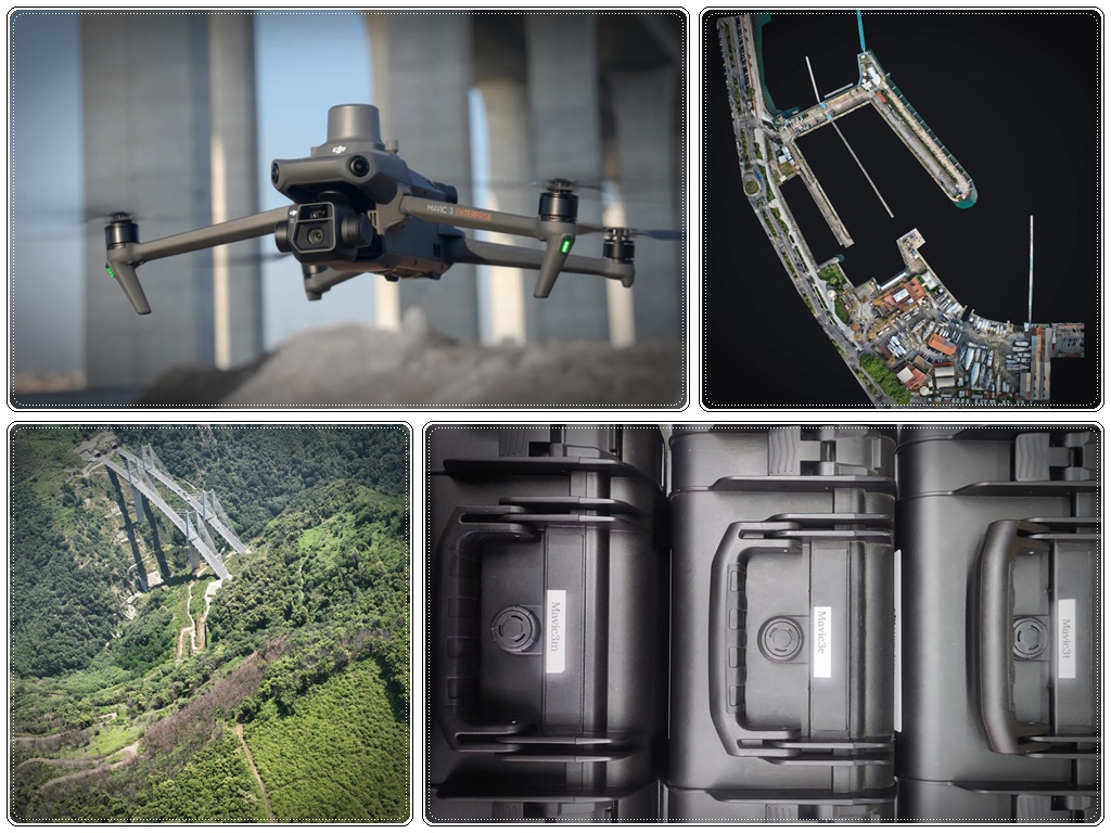
We operate our DJI Mavic Enterprise fleet (Mavic 3E, Mavic 3T and Mavic 3M) with European class marking, mandatory from 1 January 2024. This compliance ensures operations within ENAC/EASA regulations, supporting compliant operations under ENAC/EASA regulations and contributing to the reduction of regulatory and operational risks.
Drone photogrammetry produces georeferenced orthophotos, dense point clouds and 3D models with centimetric accuracy. It allows large areas to be covered quickly, with results immediately usable in CAD and GIS software.
FARO laser scanner and point clouds
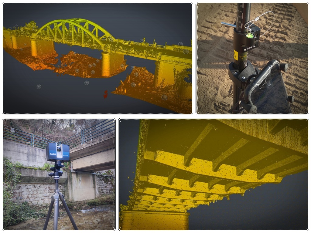
The laser scanner acquires millions of points per second with millimetric accuracy. The result is a dense point cloud that documents the real geometry of any structure: buildings, industrial facilities, tunnels, bridges, plants and interiors.
From this base it is possible to extract any type of graphic output: floor plans, elevations, sections, BIM models and 3D meshes — with geometric quality that no traditional manual survey can guarantee.
Topographic and GNSS surveys
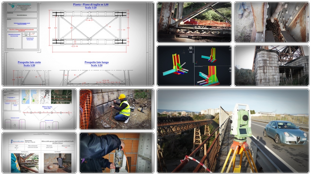
Precision surveys with robotic total stations and GNSS receivers for geodetic referencing in absolute coordinates (WGS84, ETRF2000, local systems). Control networks, altimetric profiles, setting-out and geometric verification of structures.
Construction site monitoring and DL support
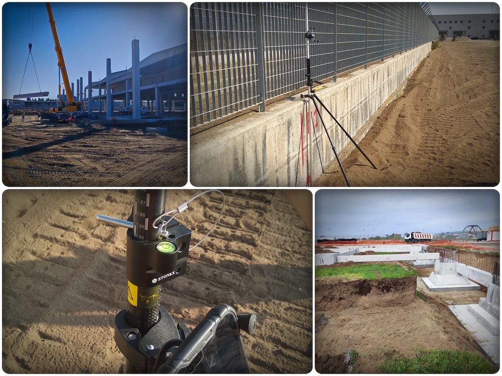
Periodic site surveys — weekly, monthly or on demand — to document work progress with real measurements. Automatic comparison with the original design: discrepancies are identified with numerical data, not subjective assessments.
Technical support for the Works Director, the contracting authority and the client. 360° virtual tours for remote inspections. Technical documentation for progress reports, variations, inspections and disputes.
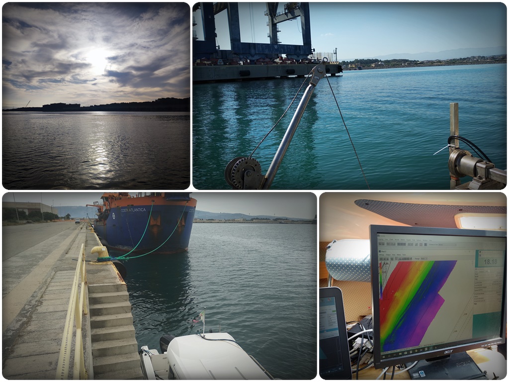
Multibeam bathymetric surveys
We carry out multibeam bathymetric surveys for the mapping of marine, lake and river beds. Since 2019 we collaborate with DRAVO S.A. for the periodic seabed surveys of the Port of Gioia Tauro, ensuring its operational safety.
Outputs include seabed models, cross-sections, sediment volume calculations, technical nautical cartography and dredging monitoring.
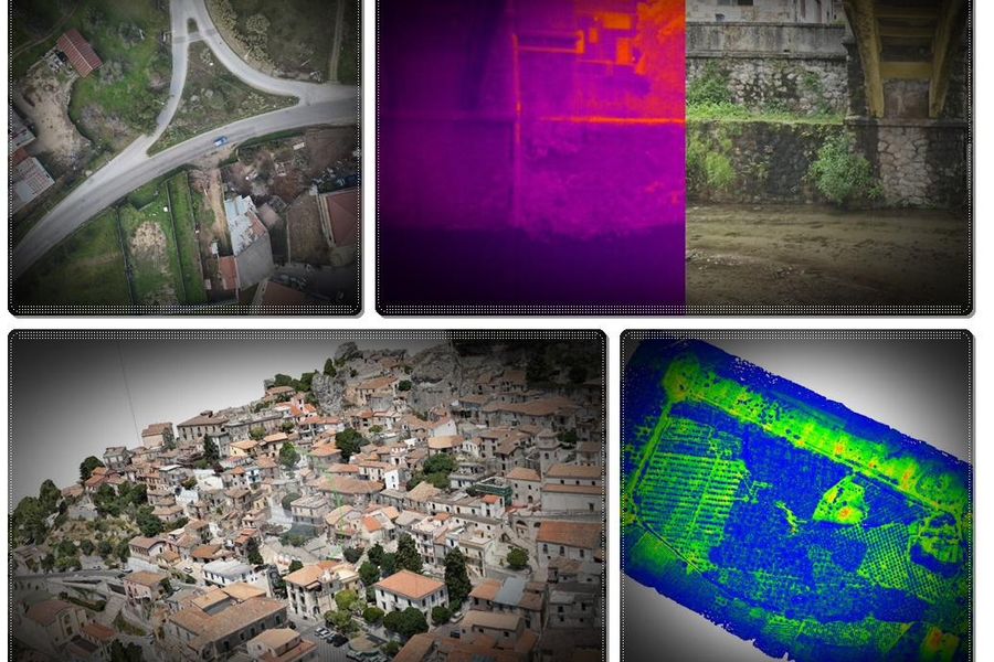
Multispectral and thermographic imaging
Drone, ground-based and satellite acquisition of multispectral and thermal imagery. Processing for NDVI maps in precision agriculture, thermal anomaly detection on buildings and plant systems, vegetation monitoring and environmental control.
We use the DJI Mavic 3M drone, specifically designed for multispectral surveying, with 4 bands (Green, Red, Red Edge, NIR) and RGB sensor.