We transform construction sites, infrastructure and territory into reliable, measurable and usable technical data. Concrete support for construction companies, public administrations and technical professionals.
SERVICE ENTERPRISES Srl is an engineering and technical services company based in Gioia Tauro, Calabria, Italy. We operate in the field of geomatics, advanced topographic surveys, photogrammetry, digital modelling and monitoring of construction sites and infrastructure.
Our approach is concrete: every output we produce is based on real, verifiable and defensible measurements. We do not sell technology for its own sake. We deliver technical data that reduces errors, disputes and wasted time.
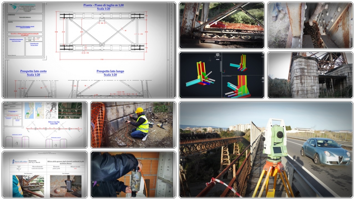
A Digital Twin is not a graphic representation — it is a precise and measurable digital replica of a real structure, built on verifiable survey data. Geometries, surfaces, volumes and positions are derived from real measurements, not estimates. The archive is accessible, updatable over time and integrable with BIM and GIS platforms.
We select the technology that best fits the problem — not the easiest one. The integration of multiple instruments produces results no single tool could provide.
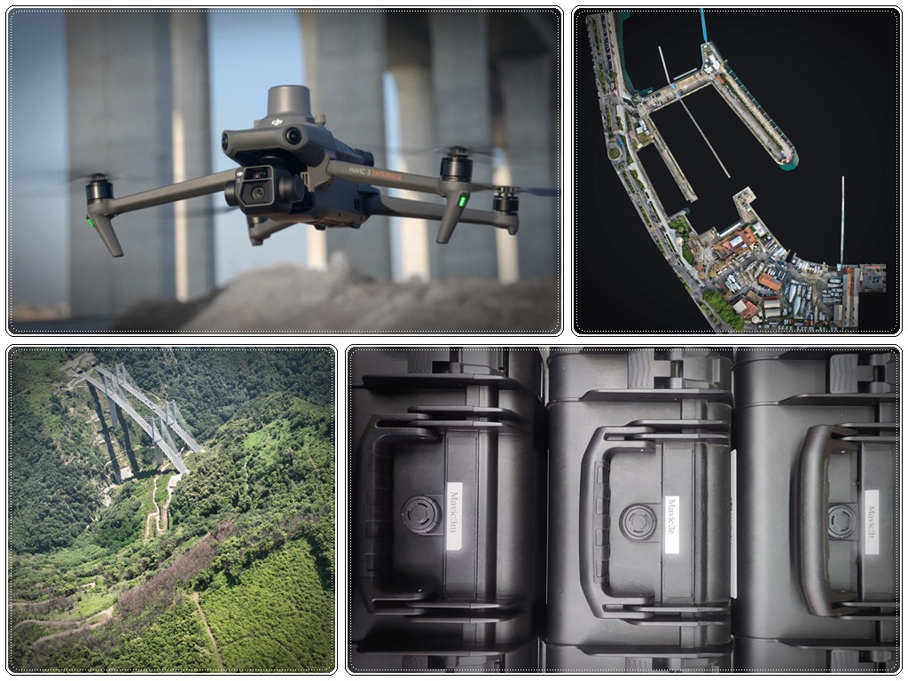
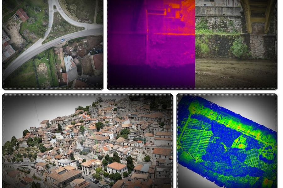
Georeferenced orthophotos, dense point clouds, 3D models and thermographic inspections. Rapid coverage of large areas with centimetric accuracy.
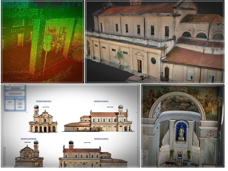
Millimetric 3D acquisition with FARO laser scanner. Floor plans, elevations, sections and BIM models from real survey data.
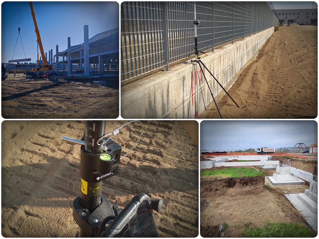
Periodic surveys to track work progress. Verification of completed quantities, design vs. built comparison, site management support.
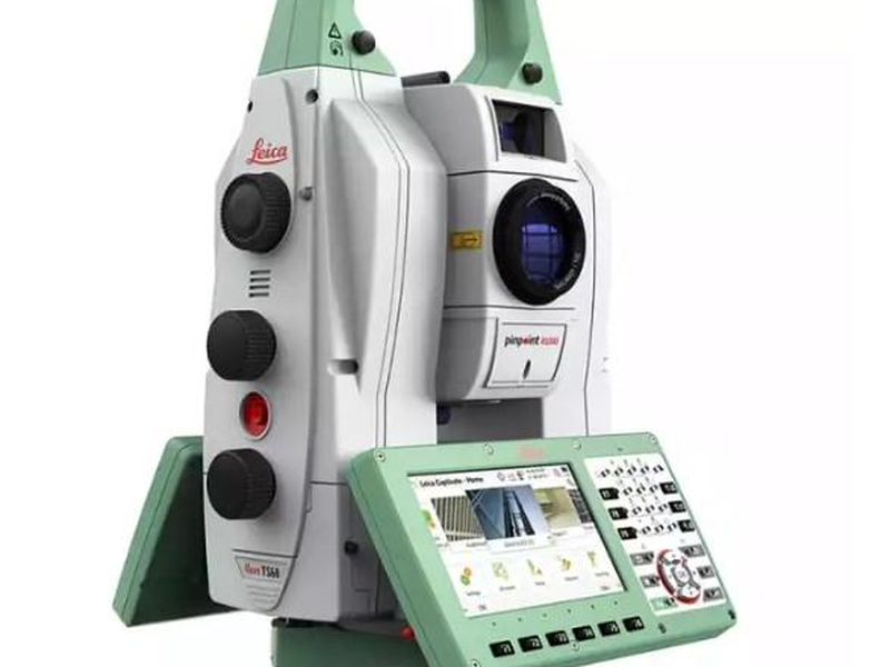
Plans, profiles, sections and geodetic reference networks. Verifiable accuracy as the foundation for any further processing.
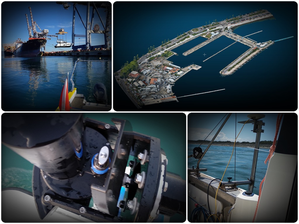
Mapping of marine, lake and river beds. Since 2019 we support the seabed surveys of the Port of Gioia Tauro with multibeam sonar.
Surveys with multispectral and thermal sensors for precision agriculture, environmental monitoring, thermal anomalies and territory mapping.
The direct result of working with verifiable data instead of rough estimates and manual measurements.
Periodic surveys document completed quantities with objective data. Progress reports supported by real measurements — fewer disputes, faster payments.
Site conditions documented before, during and after construction provide a defensible basis in case of disputes, expert assessments or legal proceedings.
With updated orthophotos, point clouds and 360° virtual tours, many checks and decisions can be made remotely. Time and travel savings, more frequent control.
Comparing the built structure to the design during construction allows geometric discrepancies to be identified before sign-off. Correcting mid-construction costs far less than afterwards.
Site visit or technical consultation to define objectives, constraints and the most appropriate technology.
Survey with the appropriate equipment: drone, laser scanner, GNSS, total station or sonar.
Point clouds, 3D models, orthophotos, sections and plans in standard formats.
Verifiable technical outputs, quality reports and ongoing support for future updates.
Contact us for a no-obligation technical assessment. We will tell you what data can be produced and at what cost.
Contact us now