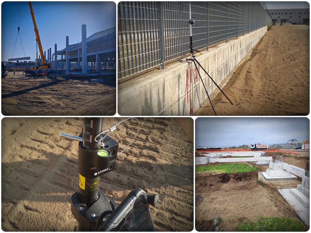
Civil construction and works
From pre-works site survey to progress monitoring through to final documentation. Periodic drone and laser scanner surveys for verifiable progress reports, design vs. built comparison and works director support.
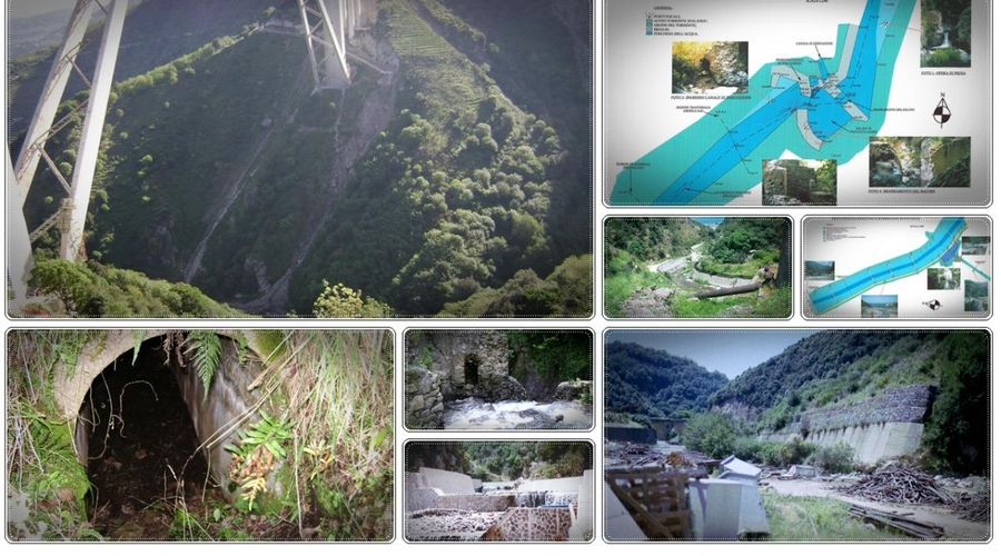
Road and rail infrastructure
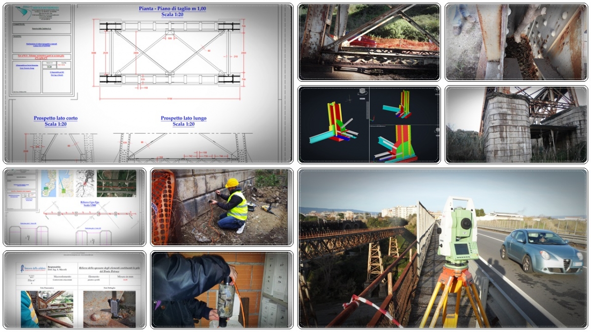
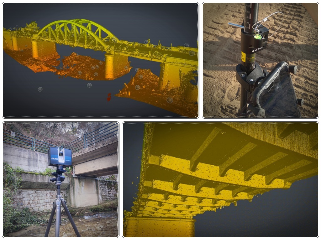
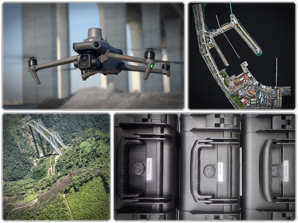
Surveys of road and rail corridors, longitudinal and cross profiles, terrain models, geometric verification of structures. Inspection of bridges, viaducts and tunnels with drone and laser scanner — no physical access required.
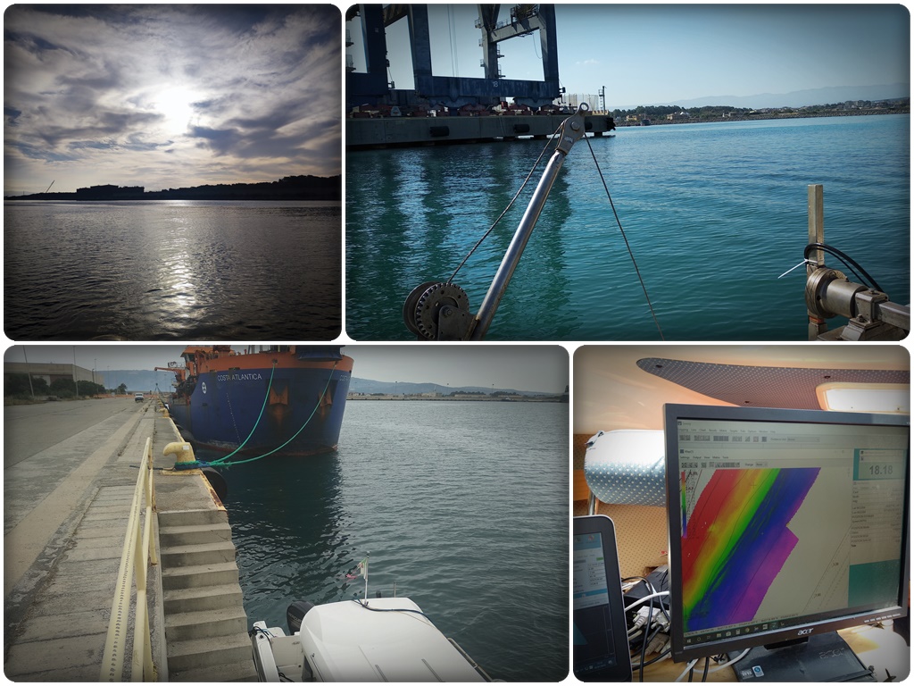
Ports and coastal areas
Multibeam bathymetric surveys for seabed mapping, dredging monitoring and navigability verification. Since 2019 we carry out surveys at the Port of Gioia Tauro. Photogrammetry of quays and port structures.
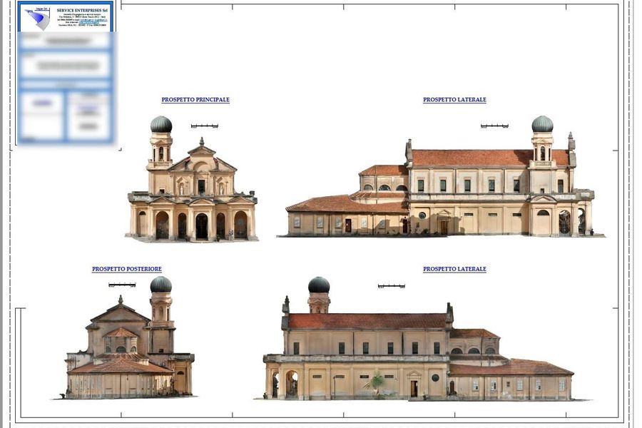
Historic buildings and renovation
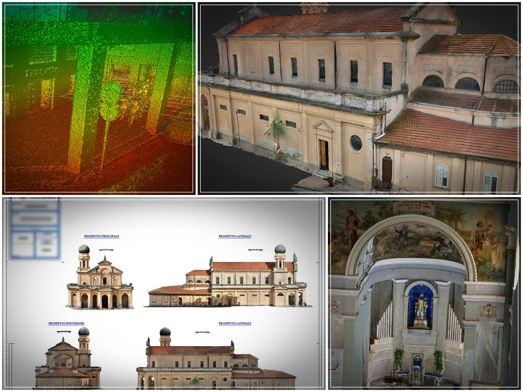
Complete metric survey with laser scanner and photogrammetry. Floor plans, elevations, dimensioned sections and BIM models for restoration, refurbishment and heritage conservation projects.
Public administration
Surveys for urban planning, cartographic updates, compulsory purchase and public asset management. Technical support for project managers and works directors in verifying public works. Documentation for technical and administrative inspections.
Quarries and industrial plant
Periodic volume calculation from 3D model. Monitoring of excavation faces for safety and licence compliance. Geometric surveys of industrial plant, warehouses and storage areas. Base for updating quarry management plans.
Agriculture and territory management
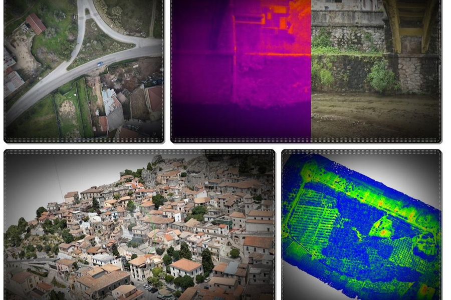
Multispectral imagery with DJI Mavic 3M drone for NDVI maps, vegetation monitoring and precision agriculture support. Thermal analysis, territory mapping and DTMs for surface water management.
Technical disputes and expert surveys
Independent surveys for documenting the actual state of affairs in technical disputes, arbitration and legal proceedings. Outputs produced by qualified professionals, based on real measurements and fully defensible in arbitral or judicial proceedings.
Applied research and AI for engineering
In collaboration with the Department of Geomatics at Università Mediterranea RC, we develop AI-based predictive platforms to assess environmental, social and territorial impacts of projects. Integration of satellite data, GNSS, thermal sensors and public databases.